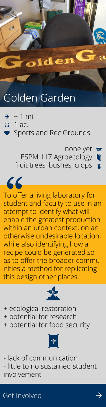
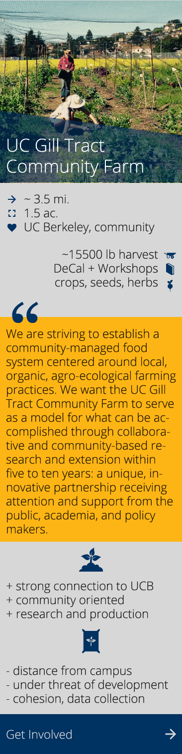
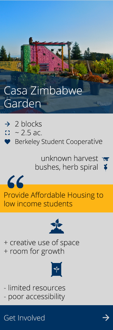
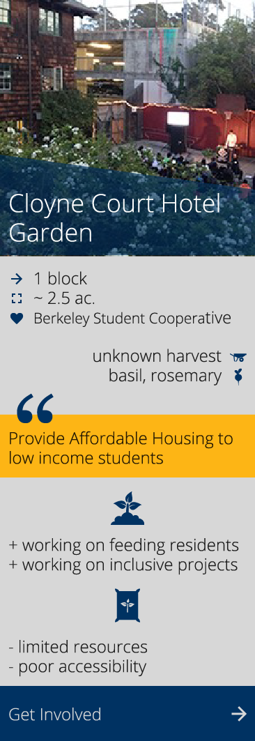
Foodscape Map: Gardens on Campus
This map shows campus affiliated gardens active in Spring 2017 identified by Berkeley Food Institute and student researchers Natalia Semeraro and Nathalie Munoz. We collated pre-existing data tracked by each garden, conducted space observations, and held interviews with garden members. Through this project hoped to gain better insight into what it is like to engage with a UC Berkeley garden and to learn about garden student and staff perspectives on the condition, activity, and maintenance of their gardens.
Click on acreage, size of harvest, or ease of transportation to see the campus gardens through three different lenses. Scroll across the map and click on different green circles to learn more about the gardens.
This map is based on data last updated in April 2017 and may be out of date. To see the most up to date list of UC Berkeley-affiliated gardens, visit our Campus Gardens page.